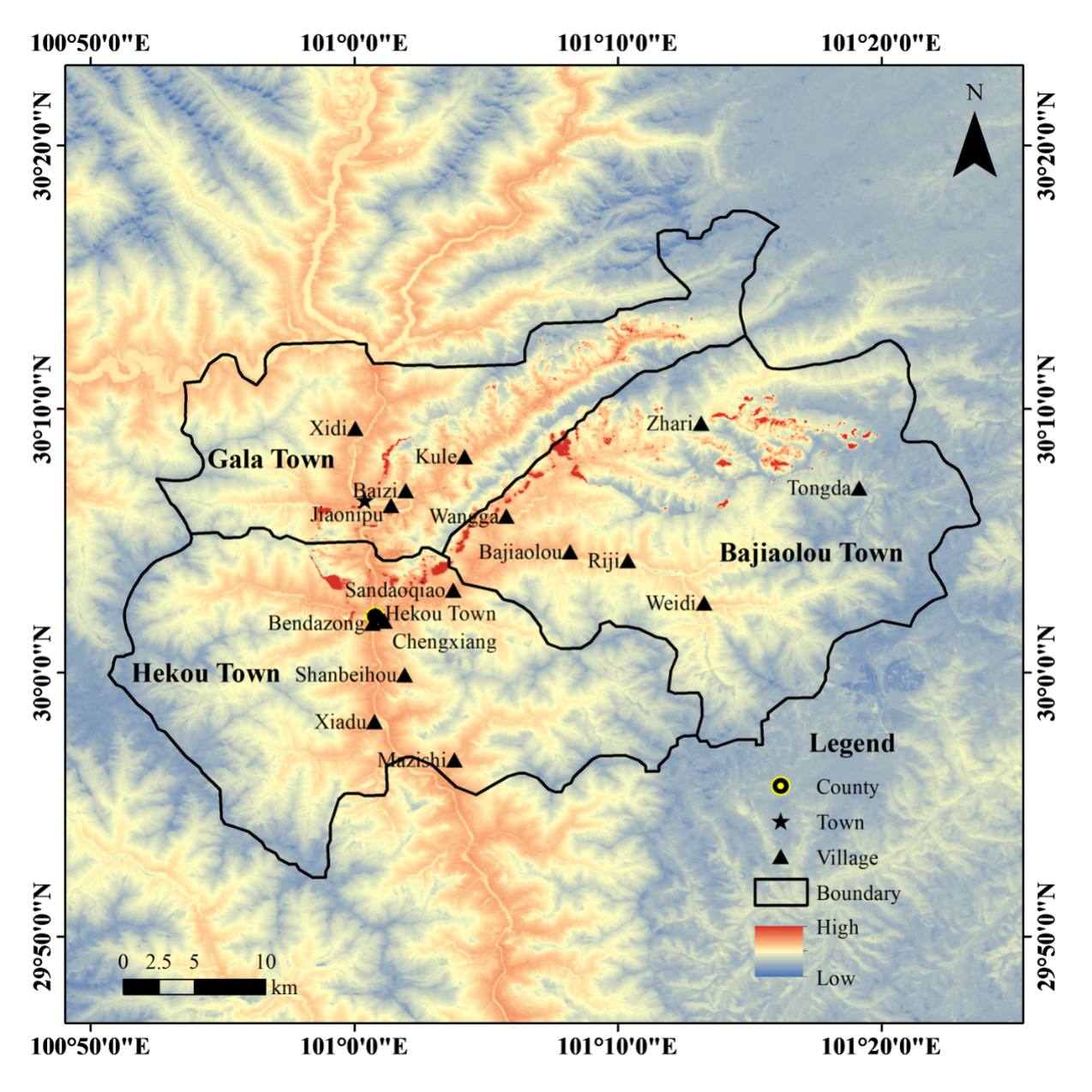
A wildfire broke out at 17:00 (BJT) on 15 March, 2024, in Ganzi Prefecture, Sichuan Province. Due to strong winds the fire rapidly propagated, causing the wildfire area to expand swiftly. The fire impacted over 3,000 individuals residing in more than 800 households across 11 villages and 1 community. The International Research Center of Big Data for Sustainable Development Goals (CBAS) conducted emergency mapping of wildfire affected areas. The SDGSAT-1 satellite was arranged for the passover to acquire the Glimmer Imagery (GLI) and Thermal Infrared Spectrometer (TIS) data within 24 hours of the fire outbreak (nighttime of 16 March), and Multispectral Imager (MSI) and TIS data within four days of the event (daytime of 19 March).
This report provided detailed and comprehensive monitoring information for emergency relief through the first synergistic use of microlight to detect light source information, thermal infrared to detect temperature distribution and changes, and multispectral to detect spectral information of the affected area, which finely calculated the location and area of open flames in the course of the fire, the burned area in the aftermath, as well as changes in the affected area before and after the disaster.
IRDR reviewed this report based on the information collected onsite.
IRDR and CBAS will continue the monitoring of the damage.


