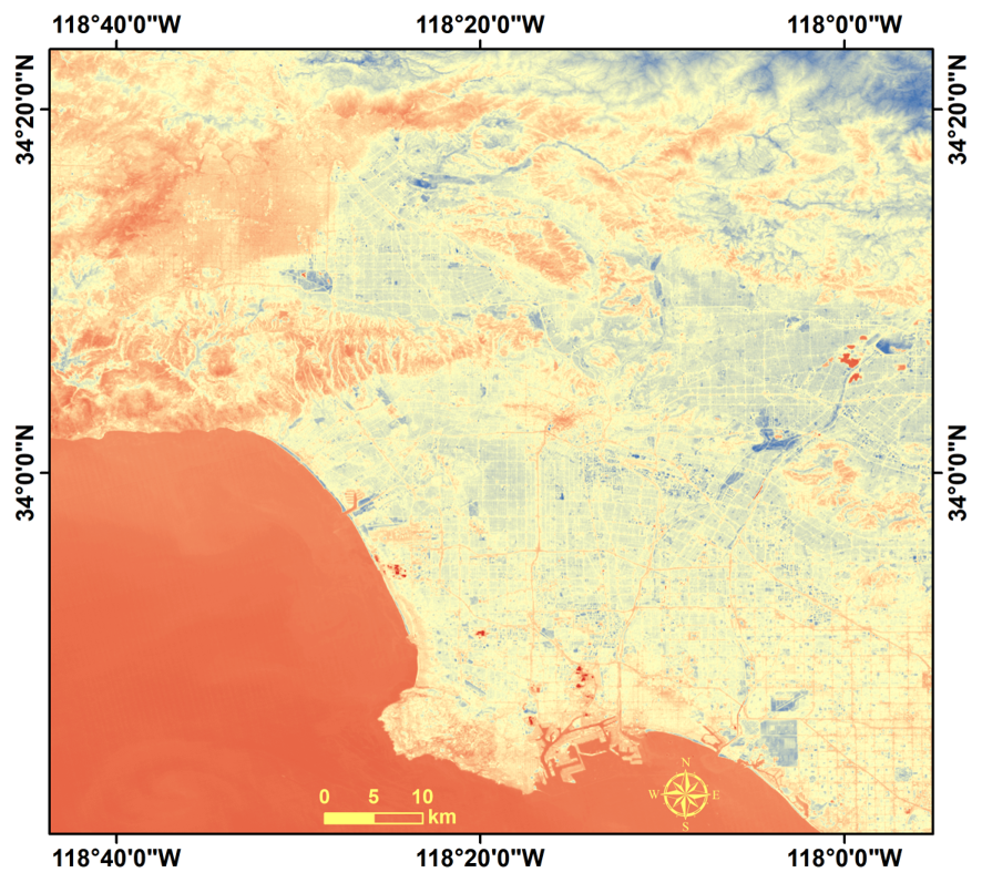
On 7 January 2025, mountain fire broke out in the southern region of the Los Angeles County, California, USA. As of 13 January local time, the death toll from this mountain fire has exceeded 24, and multiple fires have resulted in the destruction of more than 10,000 structures, with multiple fires still spreading.
The International Research Center of Big Data for Sustainable Development Goals (CBAS) activated its emergency framework to plan the overpassing for the affected area of the SDGSAT-1 payloads, i.e., Glimmer Imager (GLI), Thermal Infrared Spectrometer (TIS), and Multispectral Imager (MSI), six post-disaster scenes were acquired (10 January, 11 January, and 15 January 2025).
Citation of this report: Assessment of Los Angeles Wildfire based on Multisource Remote Sensing Data [R]. Beijing: IRDR, 2025.
Contact: sdgsat1@cbas.ac.cn


