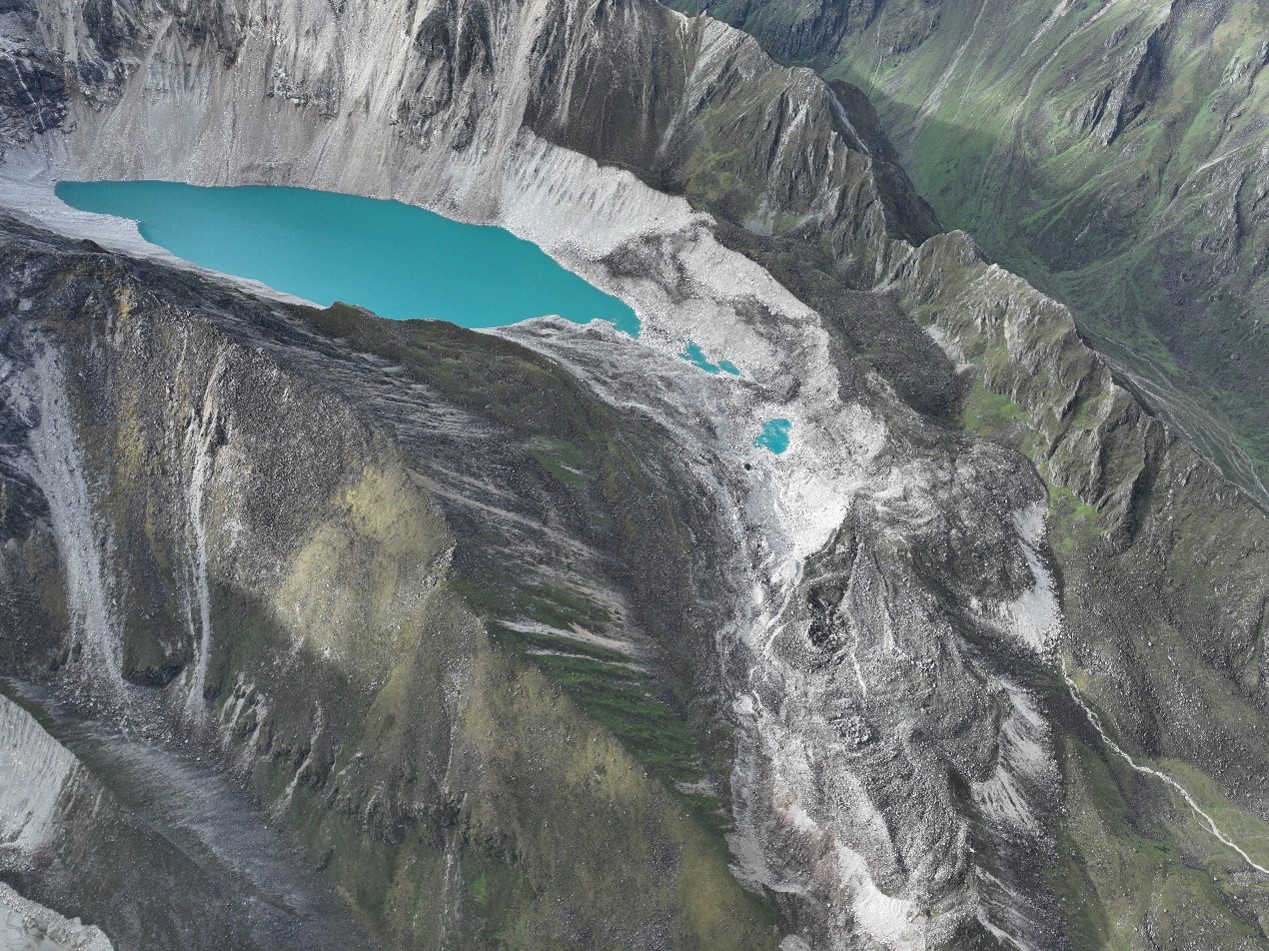
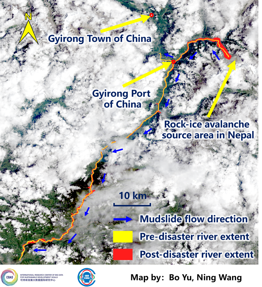
On 26 August 2026, a catastrophic flash flood and debris flow event struck the Nepal-China border region, triggered by an ice-rock avalanche that temporarily dammed the Lhende/Bhotekoshi River system before breaching and unleashing a massive surge of water, mud, and debris. In immediate response to this disaster, two major Chinese scientific data centers, which are IRDR’s partners, activated emergency protocols and rapidly mobilized satellite and scientific datasets to support emergency response, damage assessment, and relief operations. This brief summarizes the satellite and scientific data resources made available by these two centers.
Data Center 1: National Earth Observation Data Center (NODA)
The National Earth Observation Data Center (https://noda.ac.cn) swiftly activated its emergency response mechanism following the disaster. By 22:00 on 26 August, the Center officially launched a dedicated data service portal for the event.
Data Service Portal:
“2026年8月西藏日喀则泥石流灾害应急数据专题服务”
https://noda.ac.cn/datasharing/theme/viewThemeById?id=FL20260826NPL
Data Center 2: National Cryosphere Desert Data Center (NCDC)
The National Cryosphere Desert Data Center (https://www.ncdc.ac.cn) , in coordination with multiple institutional partners, has established a comprehensive scientific data emergency response service for the event.
Data Service Portal:
“西藏日喀则市吉隆县泥石流灾害(20260826)科学数据应急响应服务”
https://www.ncdc.ac.cn/portal/emergency?eid=674669dd-ea53-4433-8c2b-e839e86d721c
The rapid mobilization of these satellite and scientific datasets underscores the critical role of Earth observation in disaster response. The combined data resources provide essential information for:
Rapid Impact Assessment: High-resolution pre- and post-event imagery enables identification of affected settlements, infrastructure damage, and landslide/debris flow extent.
Cascading Hazard Monitoring: Satellite data supports monitoring of unstable slopes, temporary river blockages, and downstream flood propagation, which are key elements of this event's cascade mechanism.
Search and Rescue Operations: Timely data delivery helps emergency responders prioritize areas of highest impact and plan access routes.
Scientific Analysis: The comprehensive datasets (including terrain, population, and multi-sensor imagery) enable detailed reconstruction of the event's source mechanisms, dynamics, and downstream behavior, contributing to improved early warning and risk reduction for future Himalayan disasters.