Home / Knowledge Pool / Publications
Scientific Outputs
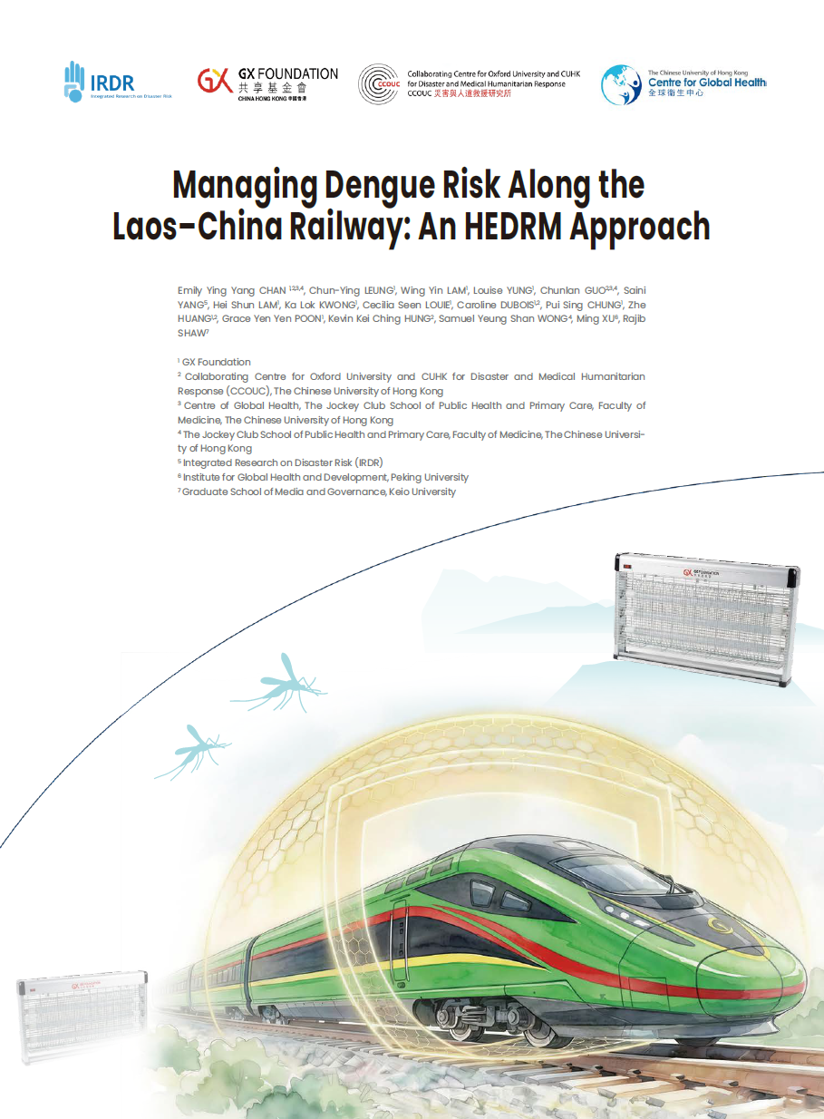
28 May 2026
"Managing Dengue Risk Along the Laos-China Railway: An HEDRM Approach" documents a vector control intervention along a major cross-border railway corridor, assessed through the Health Emergency and Disaster Risk Management (HEDRM) framework.
Scientific Outputs
19 January 2026
From 2023 to 2025, youth hackathons led by UNESCO and IRDR mobilized over 200,000 participants, yielding 100+ projects that blend AI and traditional knowledge into practical solutions like heatstroke warnings and flood prediction systems

Scientific Outputs
27 November 2025
New research in Nature Climate Change reveals large-scale compound ocean changes. The study, led by IRDR Young Scientist Dr. Zhetao Tan, provides a crucial framework for assessing these multidimensional climate risks.
Scientific Outputs
13 October 2025
Based on disaster data and risk analysis, this report provides robust data support for natural disaster risk assessment and management. This work consistently contributes to global integrated disaster reduction capability building.

